
Summit County Neighbors Around a Block
Public sources around a Summit County address serve different purposes. County GIS establishes the parcel pattern. Property records provide a current ownership pointer. Recorder material explains lots, plats, and title connections. Historical directories can place a listed household or business at an address in a particular edition. None of those sources is a complete census of the people who live on the block.
| Source | What it can show about a block | Access |
|---|---|---|
| Parcel Viewer and Mix & Match GIS | Parcel shapes, addresses or parcel IDs, and geography along a segment | Public county GIS |
| Fiscal Office Property Access | Current parcel and tax-search framework, plus an owner pointer | Public property portal |
| Recording Division and plats | Lot, block, subdivision, and title connections | Web records, IBAV, counter |
| Ohio voter records | Known-person registration and precinct information, or public county snapshots | SOS lookup, DATA Act, Board |
| City and criss-cross directories | Historical listed residents or businesses by street and address | Library Special Collections |
| Neighborhood groups | Civic contacts, meetings, and event information | Organization sites and city resources |
A property owner may not be an occupant, a tax mailing address can be elsewhere, and an old directory is evidence only for its edition year. Start with the question that fits the source rather than treating one result as proof about all Summit County neighbors.
Map Summit County Neighbors Through Parcels
The county supports a conservative adjacent-parcel method. The Parcel Viewer accepts a parcel number, owner name, or street address. Its public interface did not expose a verified neighbor, buffer, or radius control, so it is important not to promise one. Use the visible parcel geometry, then check each relevant property through the Fiscal Office and Recording Division.
- Search the target address or parcel number in the Summit County GIS Parcel Viewer.
- Keep the immediate segment in view and inspect touching or nearby parcel shapes.
- Use the Mix & Match Viewer to pan, measure, or retain the map extent when it helps distinguish nearby parcels.
- Run a selected parcel or address through Property Access, then use recorded documents when title context is needed.
The Mix & Match Viewer has documented Parcel # and Address choices, Search and Clear buttons, a Parcel # and Address results table, and zoom, pan, measure, print, and extent tools. For a complete named-street record chain, the Summit County street directory is the better next step.
Note: Map geometry helps identify nearby parcels, but the county says its GIS information is not guaranteed complete or correct.
Summit County Neighbors at Boundary Streets
Boundary streets need an extra geography check. The county's Mix & Match Viewer includes Municipalities and Summit County Addressing Boundary layers, as well as school-district and original-township context. Those layers help explain why a mailing city can differ from the body that assigns an address, receives a permit request, or serves a court matter.
Akron's neighborhood names, including West Hill, Highland Square, University Park, Kenmore, Ellet, Firestone Park, and other areas, are useful local context. They are not a substitute for a municipal boundary or a parcel legal description. On the county's northern and southern edges, a ZIP or mailing city can cross broader Summit geography, so compare the map layer before drawing a conclusion about the block.
Summit County Neighbor Community Contacts
Community organizations can offer meeting notices, local history, and a way to reach an organization. They do not supply a household roster. The researched groups below are useful civic layers after the parcel geography is known, especially when a block falls within a well-defined Akron neighborhood.
| Organization | Documented role | Directory limit |
|---|---|---|
| West Hill Neighborhood Organization | West Hill civic contact, events, meetings, gardens, and projects | No member roster published |
| Highland Square Neighborhood Association | Highland Square civic and PorchRokr organizer contact | No member roster located |
| University Park Community | Charitable and educational neighborhood-improvement group | Not an HOA or property-management directory |
| Kenmore Neighborhood Alliance / Better Kenmore | Active civic organization reflected in the 2025–26 neighborhood grant record | No member directory located |
The West Hill Neighborhood Organization provides the civic-contact model, with a defined service area and public event information.
That public material supports neighborhood context and contacting the organization, not identifying the households on the block.
The Highland Square neighborhood information supplies another documented civic layer.

Highland Square's public information is similarly useful for neighborhood activity, while leaving individual membership and home data outside the public directory.
Summit County Neighbors and Voter Records
Ohio's ordinary My Voter Information form is not an address-first neighborhood roster. It requires a first name, last name, and county, then can return registration, precinct, and polling-location information for a matching person. The form can use a street-name narrowing control for an individual search, but the research found no public “show all voters on this street” function.
The state DATA Act archive offers public county voter-registration snapshots through a more structured download route. It preserves snapshots for a limited period after elections and applies legal exclusions for protected records and sensitive identifiers. For one known person, the state lookup or Board of Elections follow-up is the more direct path. It is not sound to infer that a no-result means a person does not live nearby.
| Voter tool | Use for a neighbor question | Do not infer |
|---|---|---|
| My Voter Information | Verify a known individual's registration and precinct | A public block roster or ballot choices |
| DATA Act archive | Locate the county's official snapshot download path | That excluded or protected data is present |
| Summit County Board of Elections | Ask for official election guidance or a records route | That a ZIP alone identifies election geography |
Summit County Neighbor Source Comparison
Official sources have named custodians and defined limits. Private commercial neighbor-search categories can combine public and other data, but their coverage, update cycle, matching process, and correction route can vary. A result from either category should be checked with the government custodian or the underlying record before it is relied upon.
| Source category | Useful strength | Critical limit |
|---|---|---|
| County GIS and property records | Parcel geography and a traceable property-record route | Ownership is not a complete occupant list |
| Recorder and plats | Legal lot and title connections | Legal interest is not household composition |
| Library directories | Dated historical address listings | Inclusion and street numbering vary by edition |
| Commercial neighbor tools | May provide a starting lead | Accuracy, cost, update timing, and opt-out handling vary |
When private-publisher information needs correction or removal, use that publisher's own privacy or opt-out channel and keep the confirmation. A correction or redaction request for an official record belongs with the office that maintains that record.
Summit County Neighbors in Historic Directories
For a past block, Akron city directories begin in 1859, and digitized volumes cover 1859–1969 with gaps. Special Collections also keeps later Haines Akron City and Suburban Criss-Cross volumes in the research room. A criss-cross directory reverses the usual name-to-address arrangement, making it a useful historical address clue rather than a current-neighbor tool.
Early twentieth-century street numbering changed in some places. The library advises researchers to compare cross streets, old maps, legal descriptions, and tax maps instead of assuming an older street number equals a modern one. A historical listing should be read with its edition date and reconciled with the parcel's location.
Note: Historic directories document a publication date and listing practice, not every household member or a present-day neighborhood.
Privacy Limits for Summit County Neighbors
Ohio protects several kinds of personal information from public record disclosure. Safe at Home participants use a substitute address to protect qualifying survivors and household members, and protected voter records are excluded from the public lookup. Voter disclosures also exclude sensitive identifiers and contact details. A missing result is never a reason to guess why a person is not visible.
Ohio's internet-redaction process covers identifiers such as Social Security, tax-identification, driver-license, financial-account, and medical-account numbers in public material available online. A written request identifies the information and document location, then goes directly to the office that keeps the record. The Attorney General's forms do not forward it for the requester.
The official Ohio internet-redaction law is the source for that custodian-based procedure.
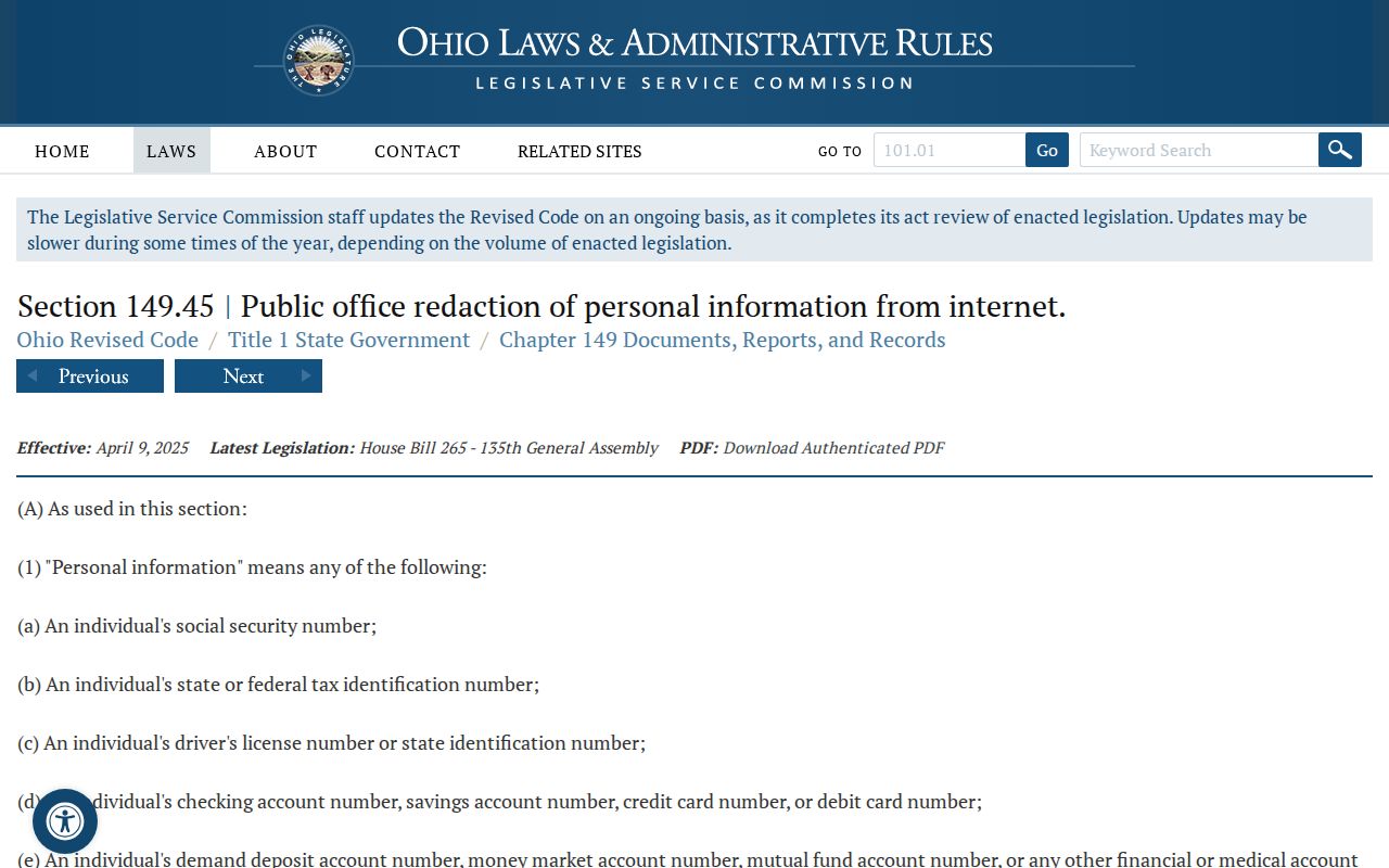
Redaction and confidentiality rules are why responsible neighbor research stops at public, relevant facts and leaves sensitive or protected details alone.