
Summit County ZIP Codes by Delivery Area
The county's ZIP inventory is a delivery-area inventory, not a map of local governments. Its northern, southern, and eastern edges meet routes that continue into nearby counties, while Akron uses many separate delivery areas. The table preserves the broad connections documented by the county ZIP map service. Use an exact street address with USPS before treating a row as the ZIP for a particular property.
| ZIP | Areas covered | Post office or station | Record-search note |
|---|---|---|---|
| 44056 | Macedonia and northeast Summit connection | Macedonia | May extend beyond the county. |
| 44067 | Northfield, Northfield Center, Sagamore Hills vicinity | Northfield | Northern routing area. |
| 44087 | Twinsburg and adjacent northeast area | Twinsburg | Postal, not municipal, area. |
| 44202 | Aurora and Hudson-side edge | Aurora | Confirm the individual address. |
| 44203 | Barberton and southwest vicinity | Barberton | Broader than incorporated Barberton. |
| 44216 | Clinton and southwest Summit | Clinton | County edge route. |
| 44221 | Cuyahoga Falls and northern Akron side | Cuyahoga Falls | Delivery area. |
| 44223 | Cuyahoga Falls, State Road area | State Road | Local station route. |
| 44224 | Stow and Cuyahoga Falls side | Stow | Delivery area. |
| 44236 | Hudson and eastern connection | Hudson | Can extend outside Summit. |
| 44260 | Mogadore and southeast edge | Mogadore | Summit-Portage routing. |
| 44262 | Munroe Falls | Munroe Falls | Small municipal area. |
| 44264 | Peninsula and Boston area | Peninsula | Cuyahoga Valley geography. |
| 44278 | Tallmadge and east-central county | Tallmadge | May cross local lines. |
| 44286 | Richfield and northern county | Richfield | Postal geographic area. |
| 44301–44308 | South, central, downtown, west, university, and east Akron | Akron stations | Separate city delivery areas. |
| 44309 | Akron postal facility | Akron Main Office | Not a normal neighborhood route. |
| 44310–44314 | North Hill, central, Ellet, northwest, and Kenmore-side Akron | Akron stations | Delivery labels only. |
| 44319–44321 | Firestone Park, Portage Lakes-side, west, and northwest Akron | Akron stations | City neighborhood lines differ. |
| 44325 | University of Akron small area | Akron | Institution-focused ZIP. |
| 44333 | Fairlawn and Montrose-side route | Fairlawn | Postal geography can overlap city concepts. |
| 44614 | Canal Fulton and southern fringe | Canal Fulton | Check New Franklin and Clinton addresses. |
| 44685 | Uniontown and Green-side route | Uniontown | Broader regional route. |
| 44720 | North Canton and Green-side fringe | North Canton | Stark-Summit geography. |
Several Akron entries are grouped here because the research inventory identifies each 443xx route as an Akron delivery area rather than a separate records jurisdiction. A ZIP code directory helps organize a search, but a parcel, city ward, court division, or tax record can follow a different line.
Summit County ZIP Code Geography
Summit County's hosted service maps USPS five-digit ZIP Code Areas and carries ZIP, post-office name, state, population, population density, and area fields. It is useful for seeing the shape of a delivery area. It cannot settle the ZIP for one house, and it does not make a postal label into a court, tax, or address-authority jurisdiction. Near a boundary, compare the county's Municipalities and Addressing Boundary layers as well.
The county's USPS ZIP Code Areas map service is the source for this geographic view.
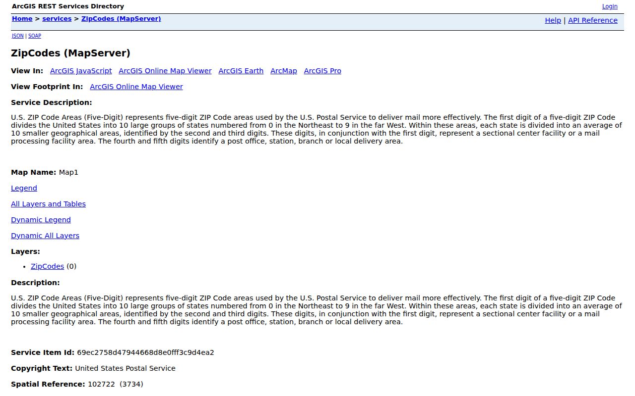
The map service is a strong first check for a broad area. It should be followed by address-level postal verification and the county record that matches the question being asked.
Summit County ZIP Codes at the Edges
The local pattern has two useful exceptions. The county map service identifies 44325 as a small University of Akron area, with reported population and area values that point to an institution-focused ZIP rather than an ordinary neighborhood. Akron's main postal facility uses 44309-9998, another reminder that an office format should not be treated as a street-delivery area.
Routes for Hudson, Twinsburg, Mogadore, Richfield, Canal Fulton, Uniontown, North Canton, and the Northfield area can cross city or county lines. A postal city may therefore look less local than the parcel's legal jurisdiction. For family, property, or civic research, use the full address, municipality layer, parcel number, and legal description instead of relying on the ZIP alone.
Note: Postal routing explains delivery, while county records use the parcel and jurisdictional information attached to the specific address.
Search Summit County by ZIP Code
Fiscal Office Property Access is the verified local route with a Zip input. It narrows property results, not a list of everyone in the area. The Ohio voter form works differently: it requires first name, last name, and county, so it is a named-person confirmation tool rather than a ZIP browse screen. The public GIS adds the delivery-area context between those two steps.
- Use USPS with the complete street address to confirm the delivery ZIP.
- Enter that ZIP in Property Access, then narrow by street or address number if a parcel result is needed.
- Use the ZIP map service and county GIS layers to compare the delivery area with municipal geography.
- When a result points to one street, use the Summit County street directory for the address-keyed record trail.
Property search is most reliable when the search is limited to a known parcel or address. A property owner is an ownership pointer, not a complete statement about present occupants.
Summit County ZIP Code Search Fields
The Fiscal Office published its Property Access field set. Its guidance makes the ZIP filter practical, but it also shows why a ZIP-wide result needs another identifier before it becomes useful. Use the tax year and sorting controls to keep the property result tied to the period and parcel under review.
| Property Access field | How it helps |
|---|---|
| Parcel or Route | Moves from a known county identifier to the property record. |
| Owner | Tests a name, using the published lastname%firstname% format. |
| Address No. and Street | Narrows a ZIP result to the location being checked. |
| Zip | Applies the delivery-area filter to the property search. |
| Filter By, Sort Parcel, Results per Page, Tax Year | Controls result scope, order, count, and tax-year context. |
The official instructions also advise entering an address such as “123 main” without a direction or suffix, and removing apostrophes in subdivision terms. Live property cards can change, so check the current portal display instead of assuming every field appears on every result.
Confirm a Summit County ZIP Code
USPS address lookup is the final delivery check. It takes street address, city, and state, with optional company and suite fields, and it warns that a match does not establish that a person or company is at that address. That limitation matters when a Summit County ZIP code directory is used for property or neighborhood research.
Akron's ward finder is a separate address-based civic check. It identifies a ward after an address is entered, not the postal route or a resident list.
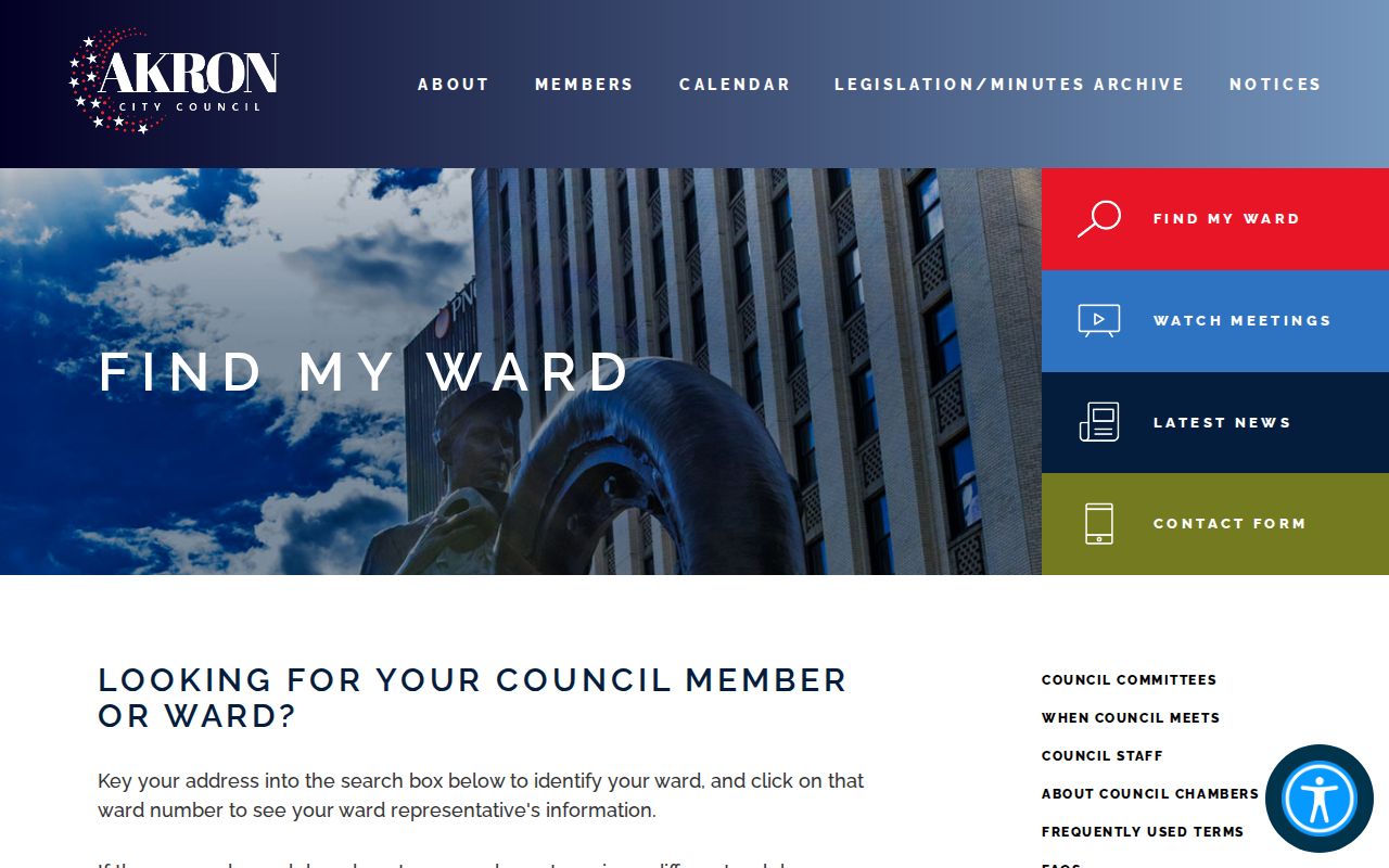
Where a ZIP and a civic label seem to conflict, the ward result can supply representation geography while the postal tool confirms delivery geography. Neither replaces the parcel record.
Summit County ZIP Code Terms
Postal and property terms answer different questions. Keeping them separate prevents a routing label from being mistaken for evidence about title or physical presence.
- ZIP and ZIP+4
- A five-digit ZIP identifies a delivery area; the added four digits refine a delivery segment or facility format.
- PO Box ZIP
- A code used for box delivery or a postal facility, which may not appear as a broad geographic area on a map.
- Unique ZIP
- A small code associated with a particular institution or large organization, such as the University of Akron area identified in the county service.
- Carrier route
- A delivery route within a postal system. It is not a municipality, parcel boundary, or resident roll.
Summit County ZIP Code Limits and City Lines
A ZIP boundary and a city limit frequently fail to match in Summit County. Cuyahoga Falls, Stow, Hudson, Twinsburg, Barberton, Green, New Franklin, Mogadore, Richfield, Northfield, Peninsula, and Akron sit within a county pattern of incorporated places and township territory. A street near one of those edges can have a familiar mailing description while its parcel, permit route, or court jurisdiction follows another boundary.
Use the Mix & Match Viewer when that distinction matters. Its Parcel # and Address searches, results table, Municipalities layer, and Addressing Boundary layer are the documented county tools. The county calls its GIS material informational and does not guarantee that it is complete or correct. Verify title, legal description, and current ownership with the Fiscal Office.
Summit County ZIP Codes and Current Parcels
The Fiscal Office completed its 2026 sexennial reappraisal and began issuing new value notices in July. That makes the tax-year selector especially important when a ZIP-filtered Property Access search is being used for current parcel context. A valuation describes tax-appraisal information. It is not a deed, title decision, or proof that a person currently lives at the location.
For a suspicious new recording tied to a name, the Fiscal Office's free Property Record Alert can send an email notice after enrollment. The county says an alert is a prompt to review the recording, not proof of fraud. Enter official county URLs directly because the Fiscal Office has also warned about impersonation and misleading tax-relief claims.
Note: A current ZIP filter can narrow a property search, but the recorded document and legal description remain the stronger title checks.