
Summit County Previous Residents Sources
A backward address trail uses different records for different eras. Recorded documents establish transfers and legal descriptions. City and criss-cross directories help with occupancy. Census schedules, maps, estate material, and obituary tools add household and place context. Each source has limits, so the strongest result is a chain of dated references that agree on the same parcel, block, or household rather than an isolated name match.
| Source | Years it covers | Where held | What it shows |
|---|---|---|---|
| Recorder web documents | 1988-present | Fiscal Office browser portal | Transfers, liens, plats, mortgages, releases, and document images |
| Index Book Archive Viewer | 1840-1988 | Fiscal Office IBAV and counter route | Older index path when web documents end |
| Grantor/grantee indexes | 1840-1914 | Special Collections microfilm | Historic deed parties linked by legal description |
| Akron city directories | 1859-present; digitized 1859-1969 with gaps | Library Special Collections and digitized volumes | Annual name, address, street, and local context |
| Haines criss-cross directories | Later editions; exact run at desk | Special Collections research room | Reverse address-to-name method |
| Federal census | Through 1950 publicly released | Census and library genealogy resources | Household composition on a census date |
| Sanborn maps | Akron: 1886, 1892, 1916, 1920, 1923, 1930, 1940 | Special Collections microfilm and databases | Building footprint, material, use, and street context |
Use the current-record route first when the question begins with a present address. For a nineteenth-century property, the library's microfilm and the Fiscal Office's older index route may be the real starting point. A directory listing is evidence of a printed listing, not proof that every person in a household was present or that the listed person held title.
Parcel Start for Summit County Previous Residents
Begin with the Summit County Property Access record or the county's GIS Parcel Viewer. The Property Access path is the parcel and tax-record starting point; the GIS search accepts a parcel number, owner name, or street address. Record the parcel identifier, situs address, tax year, and legal description, subdivision, or lot when the live record supplies them. A parcel owner is a pointer to title research, not a complete occupancy list.
Keep a separate note for the physical situs and any mailing address displayed on a parcel card. A mailing address can be a destination for notices rather than evidence that someone lived at the property. The Fiscal Office's current system was inspected through its published search material, not a stable live result card, so it is better to check whether a card lists a separate mailing address than to assume each card does.
The Fiscal Office Scanned Maps catalog is also a useful place to preserve the lot, subdivision, and map-era clues before the deed search begins.
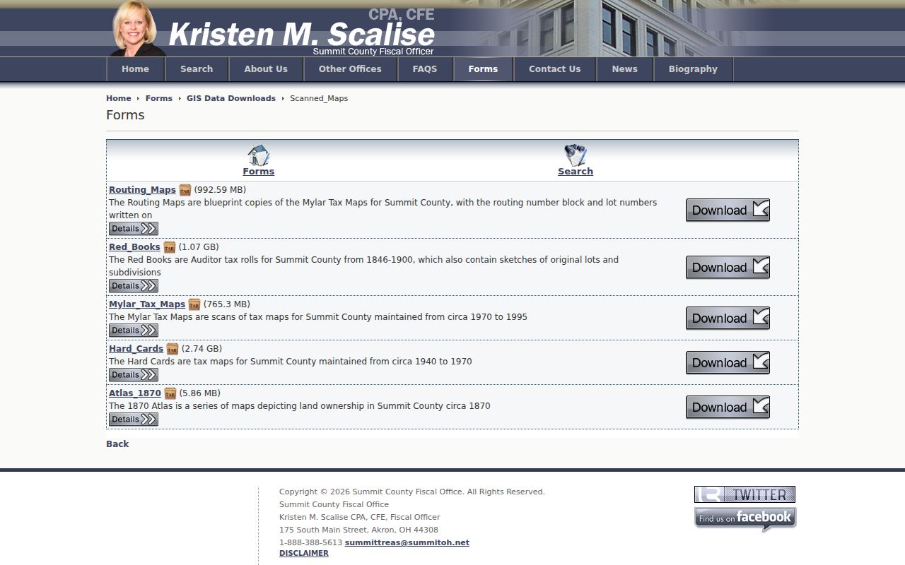
A map catalog does not identify every past resident, but it helps carry a parcel and lot description across changes in a street address.
Summit County Previous Residents Deed Chain
The Fiscal Office Recording Division carries recorded deeds, mortgages, easements, plats, releases, land contracts, condominium documents, and other indexed instruments. The web document path offers browser images from 1988 forward. A current owner's acquisition document can lead back to the seller, then to the seller's own acquisition. Match the legal description at every handoff. The same name alone can belong to a different parcel or a different person.
- Use the parcel record to save the legal description and identify the current recorded owner.
- Search the current owner as grantee around the acquisition period and match the legal description.
- Record the grantor, grantee, instrument type, recording or reception reference, recording date, and legal description.
- Search the prior holder as a grantee to find how that person acquired the parcel before the later transfer.
- Repeat backward, treating mortgages, releases, assignments, and plats as context rather than ordinary transfers.
- Move to the older index route when the web era ends, keeping the book, page, or reception reference.
- Grantor and grantee
- The grantor transfers an interest in a recorded document. The grantee receives that interest. A grantor is often the prior owner in a deed, but the instrument type still matters.
- Chain of title
- A sequence of recorded transfers connected through the same legal description, read backward from the current record.
- Legal description
- The lot, subdivision, metes-and-bounds, or other formal land description. It is more reliable than a modern street number in older instruments.
- Plat
- A recorded map showing lots, streets, or a subdivision. It can connect a deed description to a changing address.
Do not force an older deed to show a modern street number. Historic documents may use a lot, block, subdivision, or metes-and-bounds description instead.
IBAV for Summit County Previous Residents
Summit County began keeping its own records in 1840. The modern web split does not mark the beginning of those records: the Fiscal Office's Index Book Archive Viewer, or IBAV, covers 1840-1988. When a book index or abstract is unclear, the Fiscal Office provides public computers on the fourth floor and a copy route using a book, page, or reception number. The Library's Special Collections grantor and grantee microfilm for 1840-1914 supplies another historical bridge.
This two-track system reflects Summit County's record history. A 1991 charter amendment merged Recorder with Auditor beginning in 1997, and a 2001 voter-approved amendment later combined Auditor and Treasurer into today's Fiscal Office. That is why property, tax, maps, and recording paths are found under one county office even though they answer different questions.
Note: An older index entry points to a document, so obtain or inspect the referenced record before treating a party name as a completed title link.
Maps for Summit County Previous Residents
Map eras give an address trail a physical anchor. The Fiscal Office's Red Books are Auditor tax rolls from 1846-1900 and include sketches of original lots and subdivisions. The Scanned Maps collection also has an 1870 atlas showing county land ownership, Hard Cards from about 1940-1970, Mylar Tax Maps from about 1970-1995, and routing maps with lot numbers. A map can show continuity of a lot or building context, but it is not a resident list.
Sanborn sheets add building information. The Library's Akron holdings cover 1886, 1892, 1916, 1920, 1923, 1930, and 1940. For an altered property, compare the closest Sanborn sheet with a directory street listing and then with the relevant tax-map era. The sequence can test whether the old and new address descriptions point to the same place.
The Special Collections research-request source describes one way to ask the library for targeted historical material when an on-site visit is not possible.
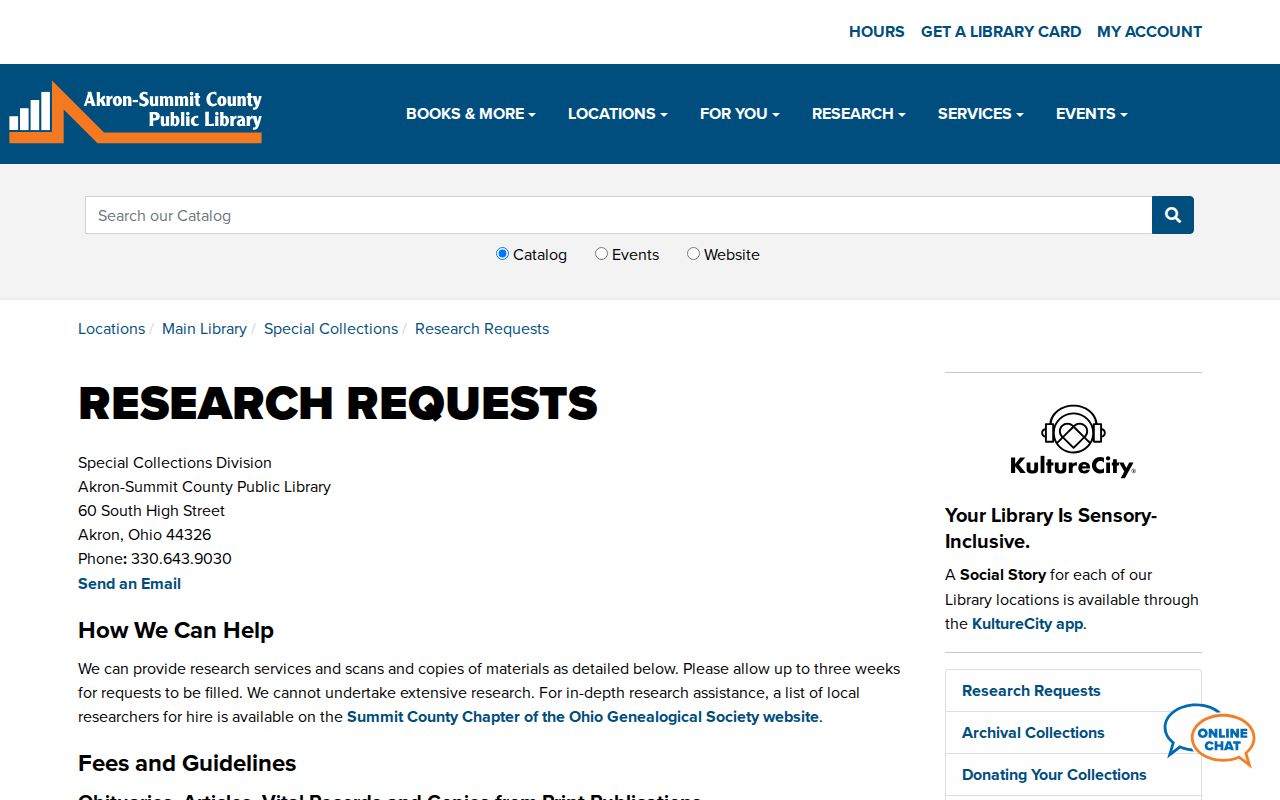
Special Collections is the local route for the map, directory, deed-index, estate, and obituary material that can turn an address match into a documented house-history trail.
Census Checks for Previous Residents
Ownership is only part of the story. The Akron city directories begin in 1859, and digitized volumes run through 1969 with gaps. Later Haines criss-cross directories in the Special Collections research room reverse the search from address to name. Telephone directories run from 1914 to the present, although the microfilm run is incomplete. These sources can help show people associated with a place in a particular edition, including people who were not named in a transfer document.
The collection details and entry-reading method are collected on the Summit County city directory page. For a household question, pair an available directory year with the closest federal census. The 1950 census is the most recent public release under the 72-year rule. Compare the printed address and name with household composition, birthplaces, and approximate ages, then preserve any contradiction instead of smoothing it away.
- Choose a directory year near the transfer or map date and find the name and street listing.
- Use the street section or a Haines criss-cross volume to check the address against nearby cross streets.
- Pair that year with the nearest public census and compare household members, ages, and birthplaces.
- Check telephone books for later corroboration, while allowing for incomplete microfilm.
- Use an obituary, cemetery guide, funeral record, or probate source to investigate a household endpoint.
The Beacon Journal is available on microfilm from 1841, and library obituary indexes cover 1937-2012. Special Collections also lists estate records from 1841-1944 and will books and indexes from 1887-1902.
Number Changes and Past Residents
The address-continuity trap is real in Akron. The library expressly warns that street numbering systems often changed during the early twentieth century. No authoritative source found for this research names a single citywide renumbering date and order, so treating every old number as a modern number can send the search down the wrong block. The 1888-89 street section records old names, alleys, east and west variants, city-limit notes, “see” references, and cross-street sequences.
Test the street sequence against an old map, the parcel's legal description, and the tax-map era. A Sanborn sheet can also show building footprint, material, and use. The result should establish address continuity before a historical name is attached to the property. An address mismatch is a prompt for more research, not a reason to invent a one-year renumbering story.
Lawful Summit County House History
House-history research is best kept narrow and documented. The Library's June 2026 House Detective: Property Research Tutorial combines city directories, maps and atlases, and Fiscal Office records to uncover the story behind a home or property. Special Collections staff are reachable at 330-643-9030 and speccollections@akronlibrary.org. The Summit County Historical Society says its historic documents and photographs are housed at the Library's Special Collections Division, with selected material available online through Summit Memory.
The Historical Society collection source identifies the relationship between the Society, Special Collections, and Summit Memory.
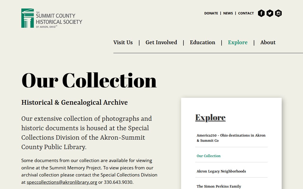
Use the collection contact route for a documented historical question and retain citations to the volume, map, or record used.
Lawful use. Research about previous residents belongs to family history, house history, estate questions, and personal curiosity. Do not use a past address or a record trail to stalk, harass, or harm a living person.